Photo Tour: Bloemfontein to Cape Town: Not the N1
South Africa's main north-south highway is the N1. (It actually runs
from the northeast, at the border with Zimbabwe, to the southwest, at
Cape Town.) The scenery isn't as monotonous as I'd heard, but
the constant rhythm of my engine (and of the cars passing me because I
was driving "only" 120 km/h, the speed limit) made me want something
different. Here's how I skipped (most of) the southern part of the N1.
To get a larger version of any picture, click on it; a new window
should open. When you close that window, this window should still be
here.
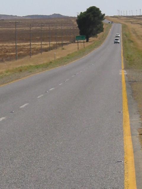
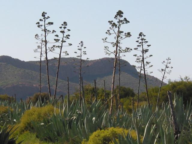
About 200 km south of Bloemfontein on the N1 is Colesberg. There, turn south on the N9. Soon it'll be just you and the cactus (and a few other cars):
|
||
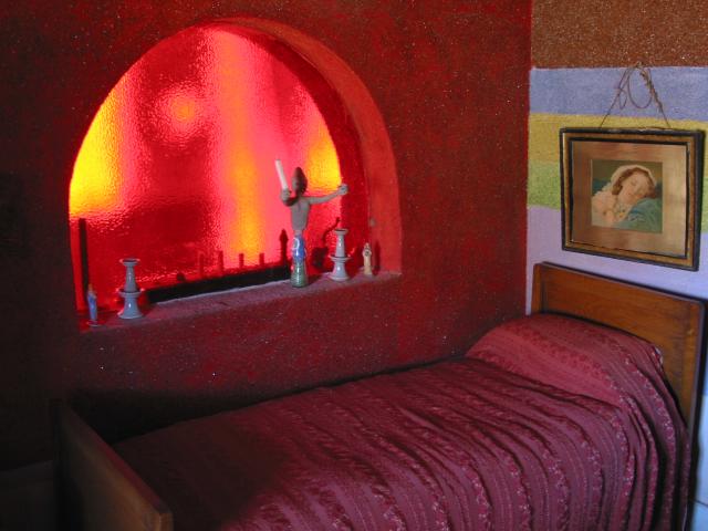
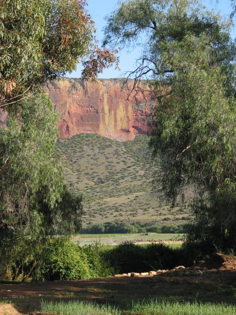
Pass Middelberg (which doesn't take long to do...) and go another 50 km or so to a right turn for Nieu-Bethesda (this is close to the junction for the R61, a road going in the opposite direction). Follow this dirt road for 25 km into a peaceful valley with tidy houses and lots of shady trees. This is Nieu-Bethesda, now an artists' colony. This is where Helen Martins, a reclusive artist, made her home into a living gallery covered in multicolored crushed glass -- and with a yard (garden) full of sculpture. It's called the Owl House:
|
||
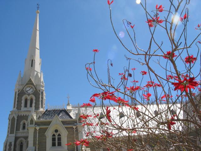
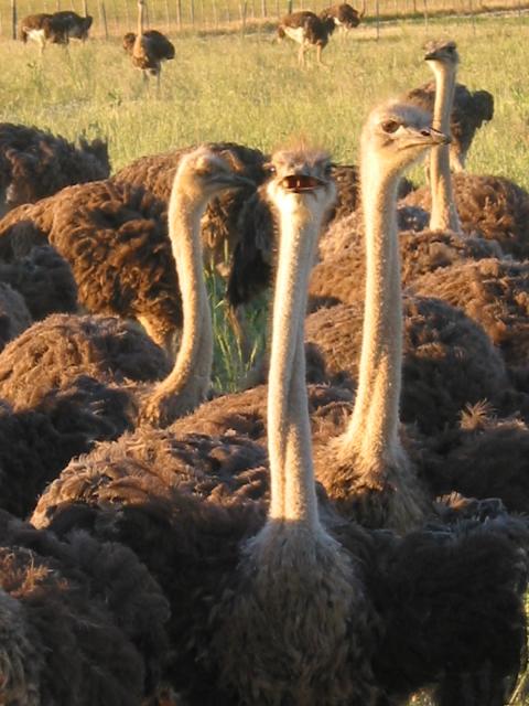
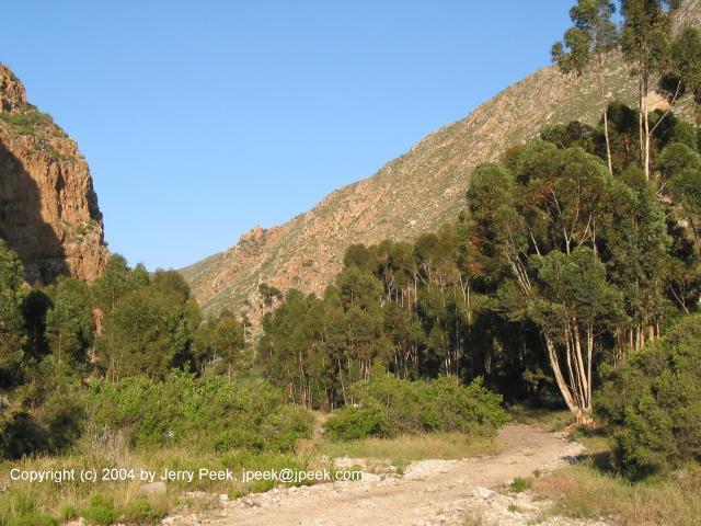
From Nieu-Bethesda, carry on south (continue through town, onto a different dirt road) until you rejoin the N9. Keep going south; soon you'll be in Graaff-Reinet, a beautiful town -- and one of the oldest in South Africa. The photo on the left below shows the city's Dutch Reformed Church. If you aren't into open spaces, you may want to spend a while in Graaff-Reinet. When you're ready to hit the road, though, get back onto the N9 headed south, south, south... a touch more than 200 km, until you reach the R341. This lonely highway passes farms, fields, and beauiful colored cliffs -- but no cities of any size until it ends at De Rust. Well, there are lots of ostrich to keep you company:
|
||
These shots are toward the middle of the R341, maybe 30 km from De Rust; the right-hand photo is from the homey bed & breakfast where I spent a relaxing night:
|
||
And near the west end of the R341, almost to the town of De Rust:
|
||
At De Rust, turn left (south again...), this time on the N12. About 40 km later is the tidy town of Oudtshoorn. The R62 heads east from here (though, as I remember, you don't have to turn: just carry on straight and look for the R62 signs). This is called the Mountain Route. I think it's nowhere near as spectacular as the R341, but it's a pleasant drive -- and (my guidebook says) is a great alternative to the N2, the famous Garden Route. A couple of hours later, toward the west end of the R62, is the vallage of Montagu. A sign says it was voted South Africa's "Favourite Village 2002." It's a nice spot: peaceful, pretty, and with some good walks into the mountains around town. These last two shots are from the mountain reserve there, with a trail to hot springs -- as well as a collection of baboons running up and down the hills and trees. From Montagu, you can follow the signs for Ashton, Robertson, and rejoin the N1 as it finishes its route to Cape Town. Or keep heading south and make your own route to wherever!
|


[Previous page:
Kruger National Park, South Africa]
[Next page:
Around Cape Town]
[Tour start: Around the World 2003]
[Tours]
(These photographs are Copyright © 2003 by Jerry Peek. Much higher-resolution versions of most images, and many other images too, are available at Jerry Peek Photography. Photos are available at reduced prices, or free, for non-commercial use.)