Photo Tour: The Disappearing (?) Park on the Border
In 2008, as a fortified border wall is being built between the US and Mexico,
California's Border Field State Park
will be cut off from the Mexican side.
I got there as the wall was about to go up.
Here are photos and stories of this fascinating corner of our two countries.
To get a larger version of any picture, click on it.
(To come back to this tour, click the "return to tour" link
or use your brower's "Back" button.)
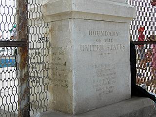
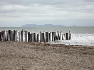
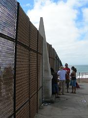
At the very southwestern corner
of the mainland US are a little stone monument and a fence running into
the ocean:
|
The two sides of the fence are
completely different.
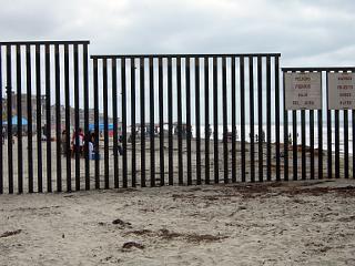
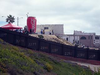
On the Mexican side is urban Tijuana: buildings, streets, and lots of people.
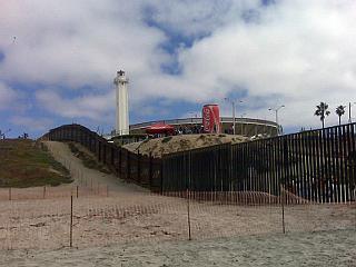
The mid-September day I visited, musicians were playing underneath a giant
inflatable Coca-Cola can... families lounged under beach umbrellas, and
Mexican Scouts filled the beach with tents, archery, and happy voices.
The U.S. side is parkland: the Tijuana River National Estuarine Research Reserve
and California's Border Field State Park.
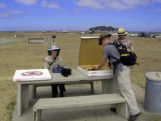
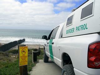
The parking lot held a trickle of visitors, and state park rangers handed
out free pizza for beach cleanup volunteers -- all under the watchful eye of US
Border Patrol officers:
|
This view into Mexico -- the mirador and the bull ring -- will probably
be history soon.
The red fences that start here on the beach (on the US side) protect the strip
of land for the new border wall.
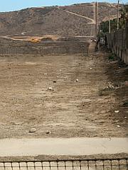
On the hills east of here, trucks and agents on horseback are already
patrolling the line.
There'll also be a new road along the US side of the wall.
|
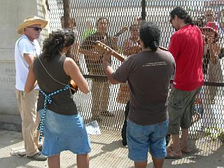
Here around the monument are people
making the most of what'll probably the last chance for this much contact
between the sides of the border.
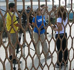
Musicians on opposite sides of the fence played together while a video crew
filmed from the Mexican side.
The fence has been here since before the time that
former American First Lady Pat Nixon dedicated the park
in 1974 (agents cut the fence so she could walk through to Mexico).
The monument has been here since the 1800s... and I'm guessing that
it will soon be on the Mexican side of the new wall.
|
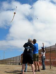
People flying kites that soar above
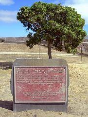
the fence -- and a plaque placed near the fence for the park's opening in 1974:
|
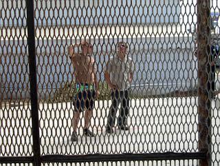
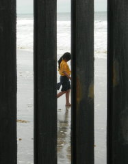
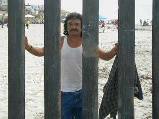
People through the fence:
A Mexican Scout with her feet in the sand, and a man who told me
(in Spanish) about his family on the US side and his trips over here (maybe not
legally?):
|
[Previous page: City of Rocks State Park]
[Next page: Imperial Beach, CA]
[Tour start: La Frontera: Along the US-Mexico Border]
[More photo tours]
(These photographs are Copyright © 2008 by Jerry Peek.
Much higher-resolution versions of most images,
and many other images too, are available at
Jerry Peek Photography.
Photos are available at reduced prices, or free, for non-commercial use.)
Contact us

