
Photo Tour: Imperial Beach, California
At the far southern end of the San Diego sprawl is the oceanside city of Imperial Beach. It's not exactly on the tourist track, but it's worth a visit. Here's why.
Imperial Beach has a reputation of being dirty and even dangerous. The drive toward the beach from the freeway (I-5, just a few miles north of the Mexican border) showed a few rough-looking parts. But the area around the pier (see the photo below) was full of families, people walking their dogs, and more that gave it a friendly "neighborhood" feel.
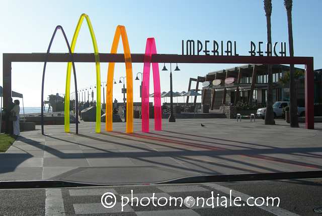
I actually didn't see the colorful pier entrance until later in the visit. But the colorful plastic symbolized the relaxed and fun attitude that I felt from the vistors -- and surfers -- who I saw here:

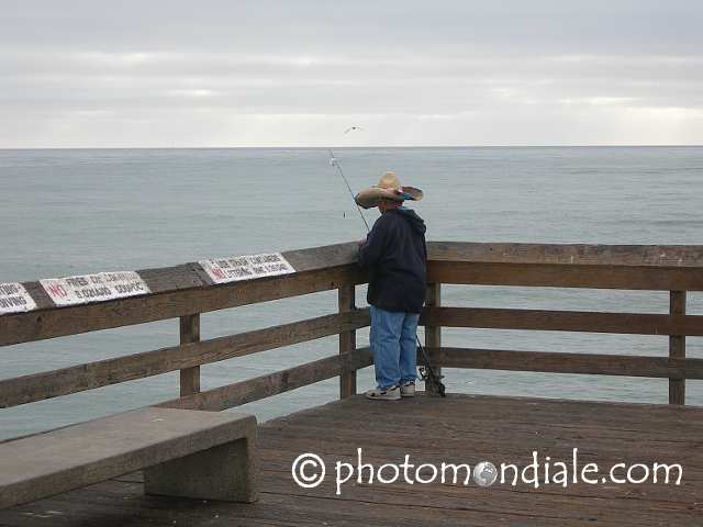
The pier has a simple restaurant at the end, and it's lined with people fishing... including more than a few characters:
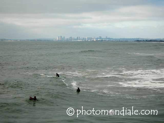
Here's a view north, toward the San Diego skyline, around sunset -- after the summer evening's clouds had rolled in:
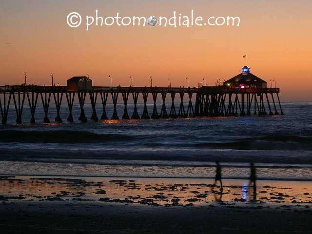
And here's the pier after sunset, with people still walking along the beach:
The beach is easy to walk; it stretches for miles. Lifeguards patrol in pickup trucks, but otherwise the beach is just full of people walking.
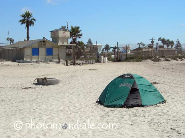
North a ways from the pier, toward a military installation farther up the coast, is the bizarre-looking YMCA Camp Surf: brightly painted buildings behind a high fence (for safety of the campers, I guess). The beach outside was full of campers' tents earlier on the weekend, but it was almost empty by Sunday afternoon:
Walking south from the pier, though, soon takes you past beachside homes into an area with wetlands on the inland side... and nothing but the ocean to the other:
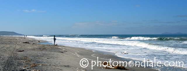
If you walk a couple of miles south, you'll eventually get to the mouth of the Tijuana River. Depending on the water level, you may not want to cross. But you can also drive to the other side -- to Border Field State Park. It's worth a visit -- assuming that it's still there! (Click that link for an explanation.)
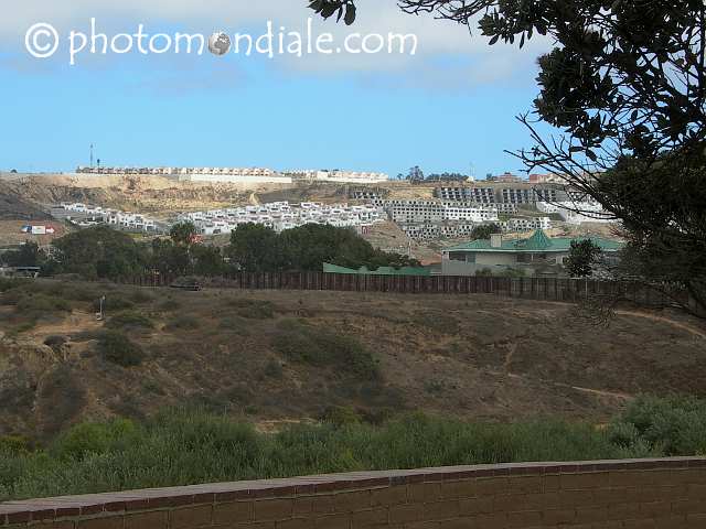
Here's a view from the southern end of beach -- which, by the way, is also the end of the United States. That's housing on a hillside in Tijuana -- and a wall, and the current (2008) border fence, and the area between where there'll soon be yet another wall:
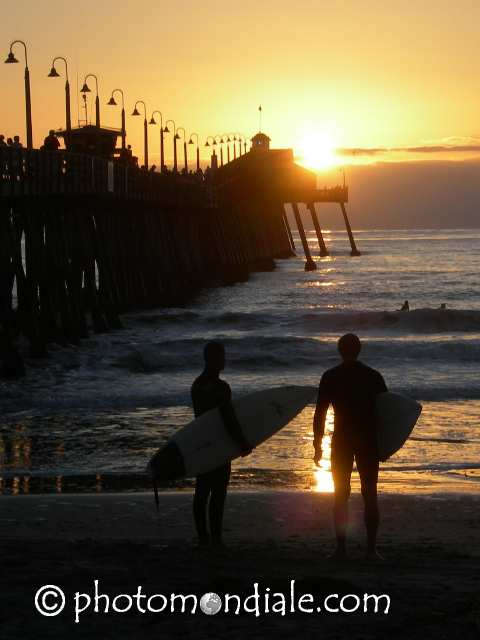
Enough about politics and borders, though. This photograph of happy surfers near sunset, looking off into the endless Pacific, is a more typical view -- and a good way to end this tour:
[Previous page: Border Field State Park]
[Tour start: La Frontera: Along the US-Mexico Border]
[More photo tours]
(These photographs are Copyright © 2008 by Jerry Peek. Much higher-resolution versions of most images, and many other images too, are available at Jerry Peek Photography. Photos are available at reduced prices, or free, for non-commercial use.)